

At SubScan, we offer a range of cutting-edge services designed to protect your project and ensure compliance. Whether you're planning, excavating, or managing infrastructure, our team delivers the precision and safety you need.
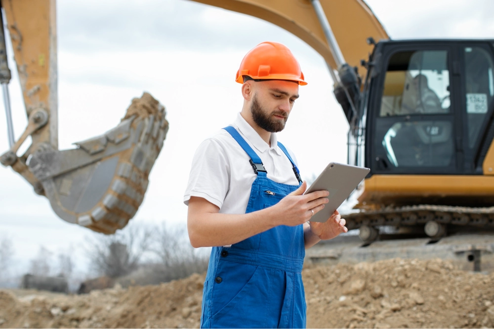
EMF utility locating is a critical process that involves the detection and mapping of underground utilities using electromagnetic field technology. This specialized technique helps identify the location of various utility lines, including water, gas, electricity, and telecommunications, before excavation or construction begins. By employing advanced EMF locating equipment, professionals can accurately trace the paths of these utilities, minimizing the risk of damage, ensuring safety, and preventing service interruptions. This proactive approach is essential for construction projects, infrastructure maintenance, and environmental assessments, enabling efficient planning and execution. As urban development continues to grow, EMF utility locating becomes increasingly important for protecting public safety and preserving vital infrastructure.
Ground Penetrating Radar (GPR) utility locating services utilize advanced radar technology to detect and map underground utilities with precision. This non-invasive method employs high-frequency electromagnetic waves that penetrate the ground, providing real-time imaging of subsurface structures, including pipes, cables, and other utilities. GPR is especially valuable in urban environments where multiple layers of infrastructure may exist. By accurately locating these utilities before excavation, GPR utility locating minimizes the risk of accidental damage, reduces project delays, and enhances overall safety. As a reliable tool for engineers, contractors, and utility companies, GPR utility locating services play a crucial role in effective project planning and infrastructure management, ensuring that critical resources are maintained and protected.
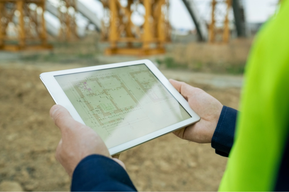
Mapping and modeling of utility services in 2D and 3D are essential practices for effective infrastructure management and planning. These techniques involve the creation of detailed visual representations of underground utilities, including water, gas, electricity, and telecommunications networks. Using advanced surveying tools and software, professionals can generate accurate 2D maps and comprehensiveimmersive 3D models that provide critical insights into the spatial relationships and configurations of utility systems.
2D mapping offers a straightforward approach to visualize utility layouts, making it easier to understand existing networks and plan for maintenance or expansion. In contrast, 3D modeling enhances this understanding by adding depth and dimensionality, allowing stakeholders to analyze complex interactions between different utilities and assess potential conflicts before any excavation or construction begins. This comprehensive visualization aids in decision-making, risk assessment, clash detection, and regulatory compliance, ultimately leading to more efficient project execution and safer infrastructure development.
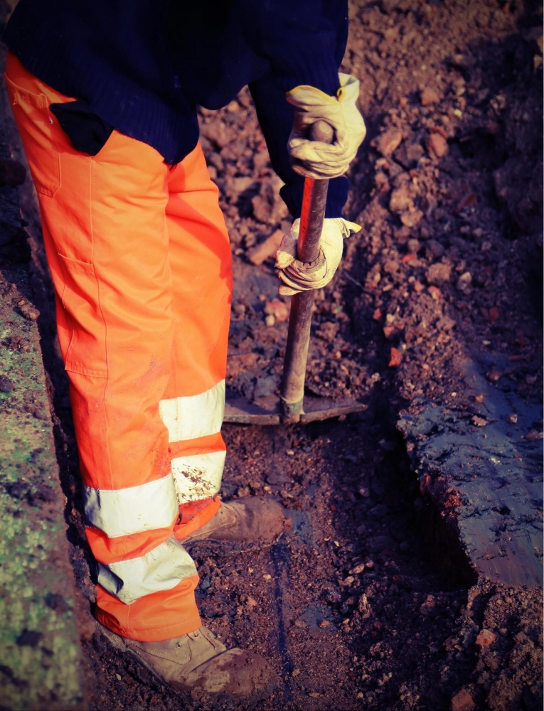
Potholing plays a crucial role in helping utility companies identify and access potential issues with their lines before they lead to major damage. It is also a vital tool for safely pinpointing existing utilities before excavation and for facilitating the installation or replacement of utility lines. Thanks to accurate potholing practices, we can all rely on safe and dependable utility services.
Potholing is a reliable and safe method for locating underground utilities to Quality Level A, in line with the AS5488.1 2019 Classification of Subsurface Utility Information. It is commonly used to locate:

A BYDA (Before You Dig Australia) enquiry is a service that allows us to request information about the location of underground utilities before commencing any excavation or digging activities. The primary goal of a BYDA enquiry is to prevent accidental damage to essential infrastructure such as water, gas, electricity, telecommunications, and other utility lines.
When a BYDA enquiry is submitted, the relevant utility companies are notified, and they provide information about the presence and location of their services in the specified area. This process is crucial for ensuring safety and compliance with regulations, as it helps to avoid potential hazards, service interruptions, and costly repairs that can arise from inadvertently striking underground utilities.
In Australia, the BYDA service promotes a culture of safety and awareness in the construction and excavation industries, encouraging responsible digging practices. It is a vital step for contractors, builders, and homeowners to take before any digging project, ensuring that all necessary precautions are taken to protect both workers and the public.


Trusted experts in utility locating and mapping, delivering reliable solutions tailored to your project needs. Proudly adhering to Australian Standards.
© 2024 All rights reserved | Designed with ❤ by Blue-IT Technologies